Subdividing in Bushfire Prone Areas of WA
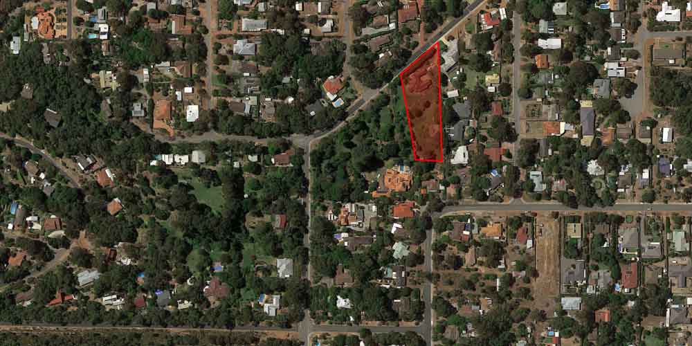
Subdividing rural land, or subdividing land in bushfire prone areas, is becoming increasingly common in Western Australia. Many people are finding themselves in the position of having to jump through extra planning hoops in the process. Councils have infill targets that they need to meet. As Perth’s population grows, there is demand for new land for housing, and many councils on Perth’s periphery, such as Armadale, Cockburn, Gosnells, Wanneroo, Swan and Serpentine are rezoning rural or semi rural pockets in their jurisdiction for housing.
Whilst this presents opportunities for developers and investors alike, there is now legislated planning requirements for large sections of Perth and its outskirts that are classified as “Bushfire Prone Areas”. It is important to consider that when subdividing rural land, it is very likely it will be in a Bushfire Prone area. People subdividing land in Perth’s fringes, in places like Kalamunda, are also likely in bushfire prone areas, even if not rural. More information on the new bushfire planning policy can be found here.
Put simply, anyone creating new infill or development in bushfire prone areas must demonstrate to the West Australian Planning Commission during the application process that due consideration for bushfire safety has been made with planned increases in housing density to an area. There must be a demonstration that the created lot or lots are planned to hold dwellings that by design guarantee the safety of their occupants in a bushfire event. If they cannot the development may not be approved, or other measures need to be implemented to mitigate the risks involved and provide potential occupants with methods to manage the risks of living in a bushfire prone area.
Subdivision applications in bushfire prone areas require BAL assessments for all proposed lots to be created. BAL assessments are Bushfire Attack Level ratings. A BAL rating takes into account the effective slope of the land, vegetation type on the property and surrounding areas, FDI (Fire danger index) and the distance from potential fire sources to give a piece of land a rating of either BAL-low, 12.5, 19, 29, 40 or FZ. This is discussed in more detail in our online course if you wish to learn more.
The BAL rating imposes mandatory building requirements on future dwellings built on that plot of land, and will directly impact the cost and type of building that can be erected on that plot of land.
Significantly for Subdivision applicants in Bushfire Prone Areas, plots of land achieving BAL 12.5 or more will require BAL contour mapping and Bushfire Management Plans (BFMP) to accompany applications to the WAPC. Bushfire Management Plans are a time consuming exercise and add work (and cost) to the early stages of the subdivision process. Further to this, high BAL ratings will also significantly impact the cost of building on the site.
A BFMP will add several thousand dollars to the cost of an application. The outcome of the BFMP may affect the desired subdivision design. Bushfire planning and management is taken quite seriously now by the WAPC. Potential investors and developers must be aware of their obligations when subdividing land.
Do you need advice about subdividing land in a Bushfire Prone Area or if your land is Bushfire prone ?
When you need a little (or a lot) help with your property development, remember we’re here to help. An hour or two of a professional consultants time can be very helpful, particularly if your own research has taken too long or you are not sure you even have the right answer to your questions.


